Also related to Hurricane Ike.
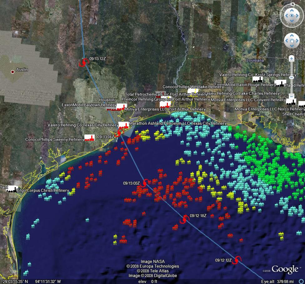
Sep. 12th, 2008 12:08 amhttp://www.theoildrum.com/node/4517 has a pretty cool screenshot from Google Earth with rigs/platforms and refineries plotted and color-coded as to what their status is, as well as the estimated storm track. http://www.theoildrum.com/files/gfdl_12z_11sep.jpg is the full-sized JPEG.
According to that post, more than 30% of US refining capacity is in the storm path.
http://blogs.opisnet.com/archive/2008/09/10/the-ike-spike.aspx discusses the fuel price spike.
According to that post, more than 30% of US refining capacity is in the storm path.
http://blogs.opisnet.com/archive/2008/09/10/the-ike-spike.aspx discusses the fuel price spike.
(no subject)
Date: 2008-09-12 04:22 am (UTC)